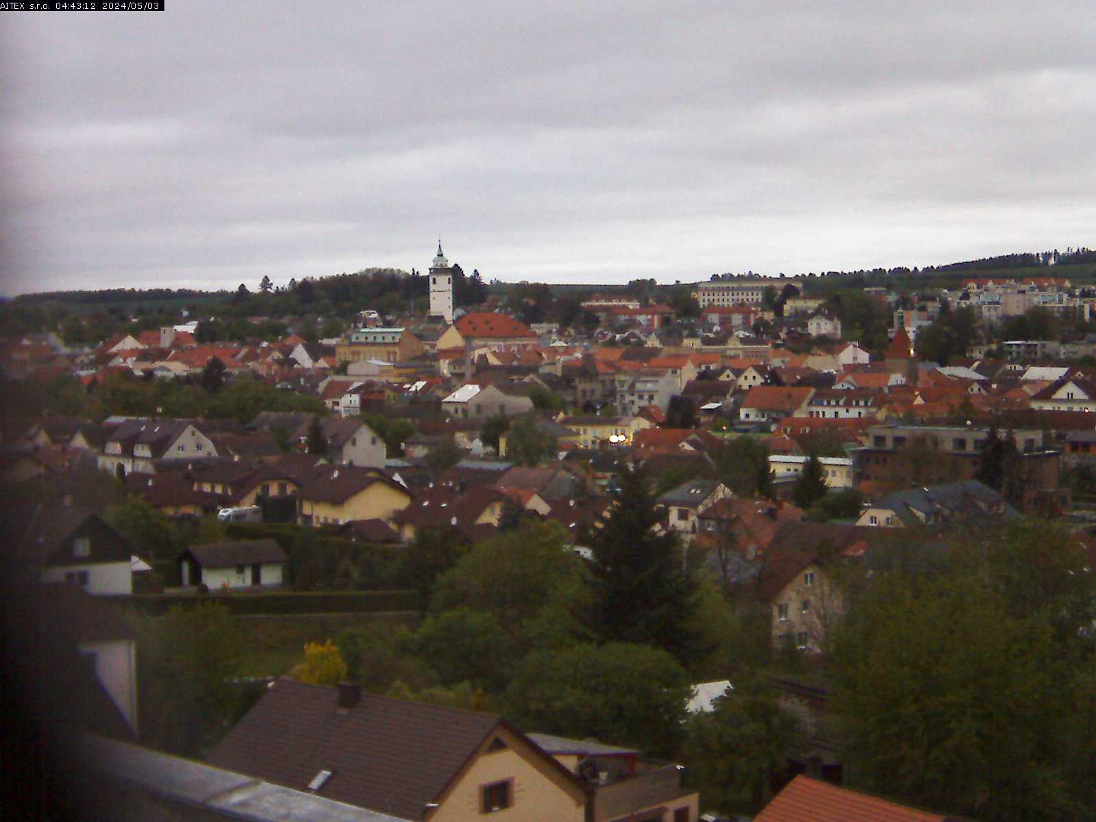
Live camera Wiesenhofen, Germany
Wiesenhofen is a district of the town of Beilngries in the Upper Bavarian Eichstätt district.
Watch camera online in Wiesenhofen
Location The village church is located on the plateau of the southern Franconian Jura in the northwestern part of the city of Beilngries. From there the road leads to Wiesenhofen via Hirschberg and through Kaldorf, which crosses the state road 2393 (Haunstätten - Litterzhofen) in the village. History Wiesenhofen - former farmhouse Several prehistoric burial mounds are found in Oberholz east of Wiesenhofen. Wiesenhofen was first mentioned in a document in 1305 in the Heimersheim award: in a dispute between the Bishop of Eichstätt and Bavaria, the village was handed over to Hochstift Eichstätt by the inheritance of Hirschberg. The Hattenhof received this award for its size.
In 1306, the village court was also assigned to the bishop. Two representatives of the ministerial Wiesenhofer family are mentioned in a document of the XIV century, namely: “G. de Wiesenhofer "and Albert Wiesenhofer, the feudal lords who own the episcopal estates in Wiesenhofen and Emmendorf. In addition to Hochstift, the landowners in Wiesenhofen were the Plankstätten monastery, with seven estates in 1465 and - with a farm that was acquired after 1644 - by the Eichstätt cathedral chapter. In 1486, the two villages of Wiesenhofen and Kaldorf founded the parish of Wiesenhofen with the approval of the Plankstetten monastery; the church in Wiesenhofen is mentioned as early as 1466. In the 15th century, and later, there were several noble families held an episcopal feud, at Marschalke from Irschberg, which Baiersdorfer that Gift poke the mountains and Absberger in Rumburk.
During the Thirty Years War, the village was pretty deserted, only two bishop's farms operated. After secularization in 1802, Wiesenhofen formed a commune with the neighboring town of Kaldorf. In 1832, Wiesenhofen consisted of 17 houses with 80 inhabitants and a village chapel. In 1900 the population of the village increased to 102, the number of residential buildings remained unchanged - 17. In 1954 the land was unified. On January 1, 1972, the village annexed the town of Beilngries as part of the Bavarian regional reform. In 1983, there were 13 farms and a gravel plant with 116 inhabitants; the extensive Wiesenhofen dolomite quarry is located in the forest east of the village.